
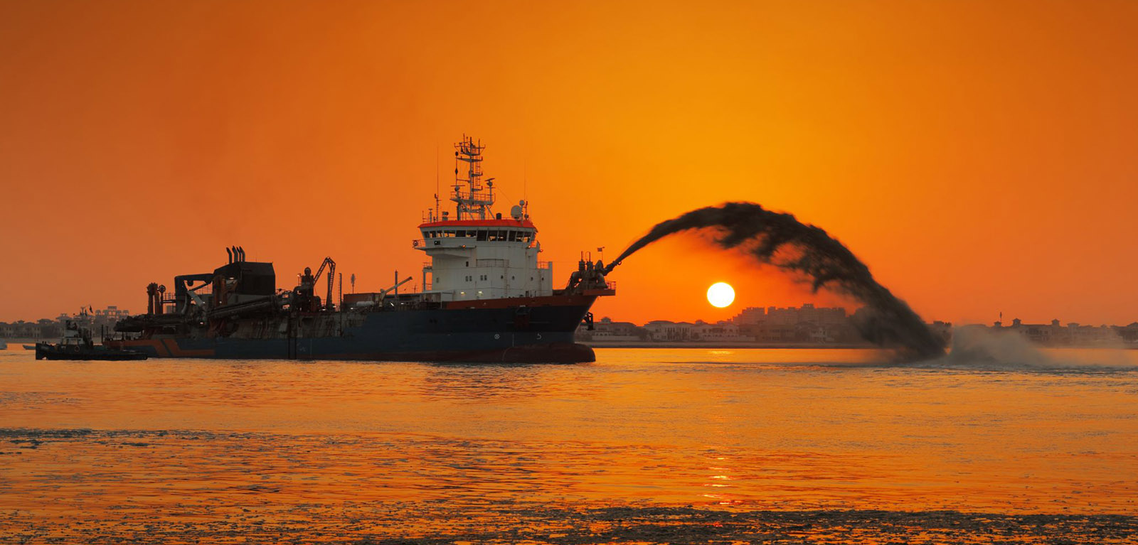
Hydrographic services Inc .New York. is a full-service Professional Hydrographic Solutions and Land Surveying Company situated in Newyork. We are fully licensed and strive to prepare professional surveys of the highest quality to our clients. We have established ourselves as a solid company able to handle any size project and deliver it on time and on budget. We utilize the most advanced equipment in the industry to accurately and efficiently take any project from conceptual idea to finished product.
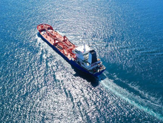
Hydrographic surveying deals with the configuration of the bottom and adjacent land areas of oceans, lakes, rivers, harbours, and other water forms on Earth.
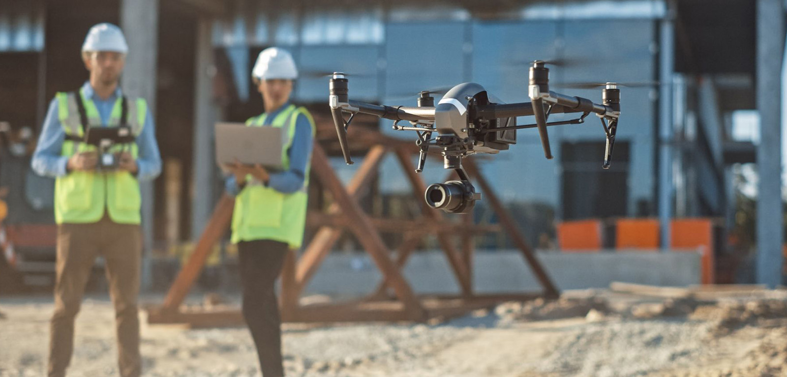
A drone survey refers to the use of a drone to capture aerial data with downward-facing sensors, such as RGB or multispectral cameras, and LIDAR payloads.
A utility map shows the positioning and identification of buried pipes and cables beneath the ground.
We perform fluctuations of sea level consecutive observation to Tide-level record by the digital output and analog output.
A diverse range of methods and equipment are used for obtaining samples from the sea and seabed, depending on the material or measurement required.
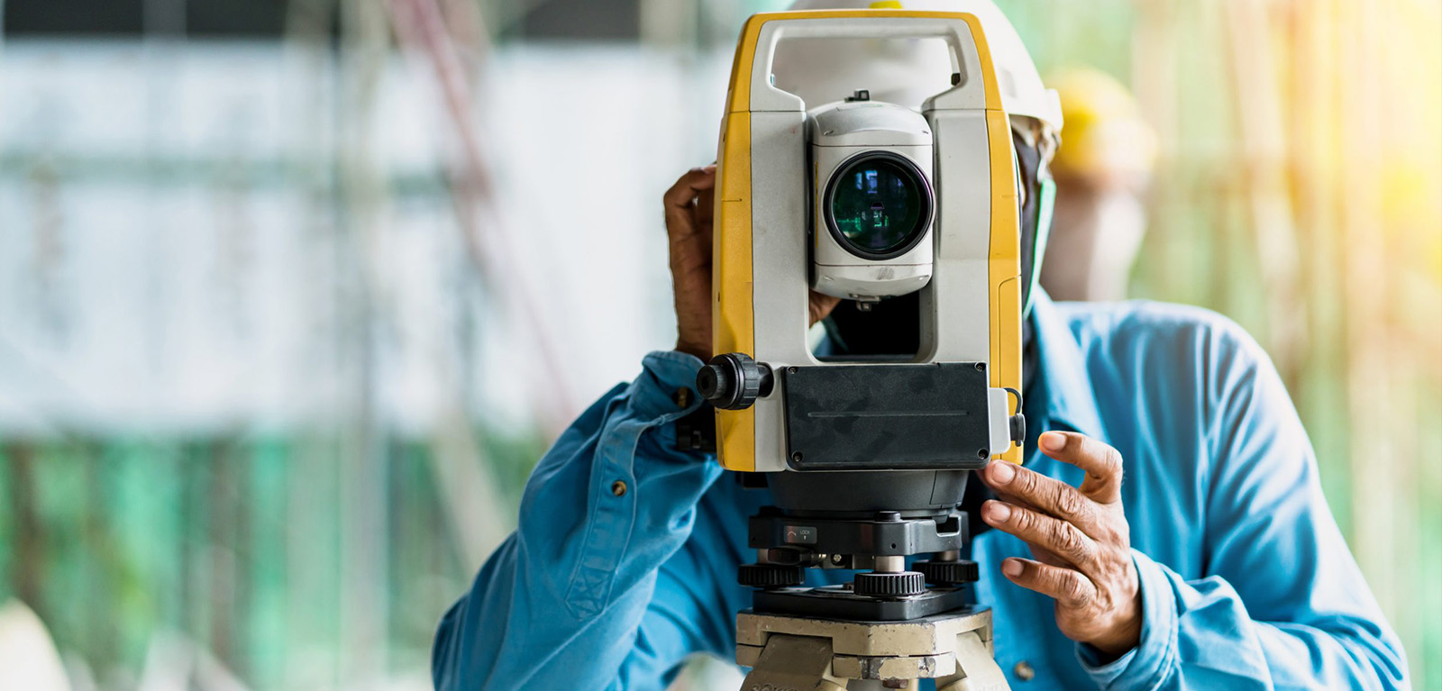
Triangulation and trilateration are two methods used to conduct land surveying by determining horizontal measurements.